Refill your water bottle along the way
Use the Refill app to for fresh water on the go...
Use our interactive map to plan your route today
Want to print using Microsoft Edge browser? Choose “Microsoft Print to PDF” to convert your map to a pdf and then print it off.
Drawing a straight line
Drawing a curved line
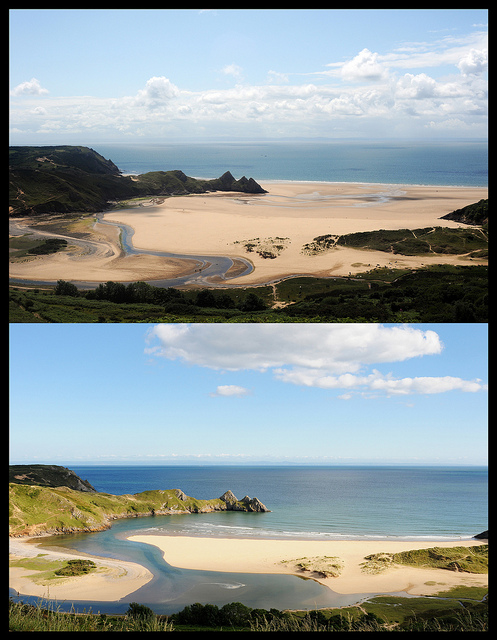
Wales Coast Path

Temporary Path Diversions
You can choose a start and finish point to see the distance between these two points, see any temporary path diversions and share your journey on social media. There are help icons to the left of the map to help you make the most of the map. Go to Temporary Diversions for more information
Our map uses Ordnance Survey (OS) data. Any recent changes to the Wales Coast Path route will not be reflected on the paper and digital OS base maps because of the delay in updating them - please follow the purple line which is the Wales Coast Path route.