

Llansteffan
Combine this woodland walk with estuary views...
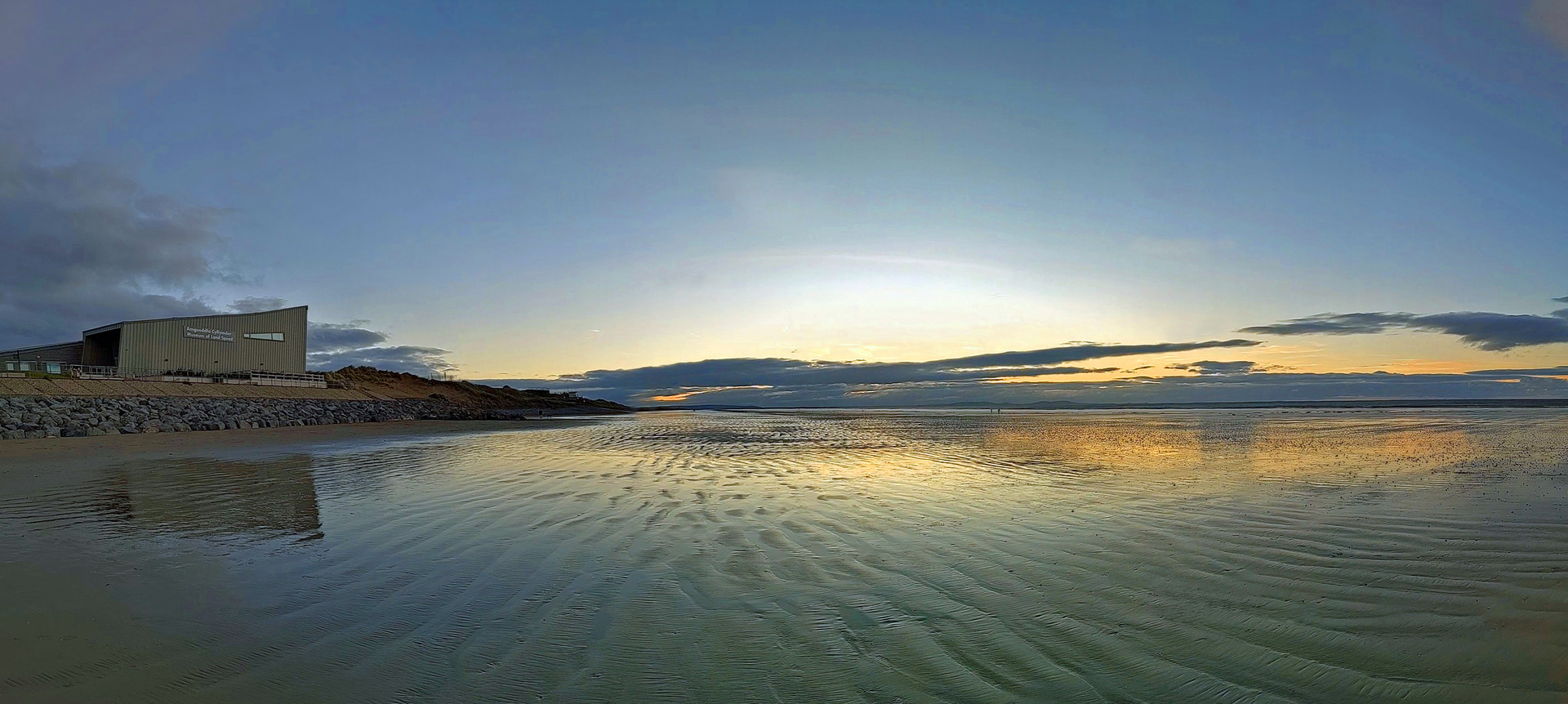
Enjoy the views of beaches known for World Land Speed records and D-Day landings
Paddy Dillon
World land speed records were set in the 1920s on Pendine Sands. Follow the Wales Coast Path over Gilman Point to discover a beach where troops practiced for the D-Day landings in Normandy. Heading inland through a valley, two options are available to reach the older part of Pendine, where buildings are huddled around St Margaret’s Church. A walk down Pendine Hill returns to the seaside resort of Pendine.
Distance: 2.5 or 3.5 miles or 4 or 5.7 kilometres
Start location: Pendine Car Park
Start Grid Ref: SN 23550 08116
Start What 3 Words: trembles.assets.worms
Parking
Parking at the Pendine Car Park.
Bus
Daily bus services, except Sundays, link Pendine with Tenby, Laugharne, St Clears and Carmarthen.
Train
None.
The circular route is marked in dark pink in the map image below. The purple flags show the start and finish point. There are two GPX tracks for this route, with ‘Pendine Long’ being the longer option and ‘Pendine Short’ being the shorter option. Both routes are marked on the map. The map includes a short-cut in the middle of the route.

1. Start at the Pendine Car Park, or at the bus stops close to the car park entrance. Walk through the car park to reach the beach, where the Caban Hotel and Museum of Land Speed lie to the left in modern buildings. Malcolm Campbell and J G Parry Thomas set world record land speeds on Pendine Sands. Campbell’s highest speed was 174.22mph in ‘Bluebird’ in 1927. Parry Thomas made an attempt to break the record shortly afterwards, but died when his car ‘Babs’ crashed. After being buried in sand dunes for decades, ‘Babs’ was excavated and restored.
2. Turn right to follow the Wales Coast Path along the promenade, briefly walking along a road near the Springwell Inn. Another short promenade path leads to the Point Cafe. Climb flights of steps, some concrete, some wooden and some cut into the limestone bedrock, totalling 234 in all. Follow a gently undulating path then climb another 30 crude limestone steps. Although there are often bushes beside the path over Gilman Point, views extend from Caldey Island near Tenby to Worm’s Head off Gower.
3. Descend steeply on a grassy path flanked by gorse bushes, with 20 wooden steps near the bottom. The Wales Coast Path continues up the other side of a valley, but it isn’t followed any further on this walk. Two concrete walls were built across the valley, similar to German-built wartime defences in Normandy. American troops practiced raiding the beach and successfully breached one of the walls, which has since crumbled to rubble. Turn left to visit the pebble beach at Morfa Bychan, otherwise turn right to follow a track inland through a valley tangled with bracken and brambles. Keep a lookout for old limekilns.
4. The valley becomes more wooded further inland and a signposted junction is reached. The full route keeps left here, but note that turning right offers a short-cut up to Pendine Hill, saving one mile of walking, using a steep path that is partly worn to bedrock in an adjacent valley. Keeping left to follow the full route, the track continues rising gently through the valley, eventually emerging from the woods to join a minor road. Turn right uphill and pass the Green Bridge Inn. Walk straight ahead along the road as signposted for Pendine, passing a caravan park.
5. Follow a pavement gently downhill, passing the former Ysgol Tremoilet. This was a National School, built in 1875 on the site of a 15th century house called Tremoilet. Follow a path running parallel to the road, which quickly rises onto a wooded embankment above the road. Re-join the road and follow it gently downhill to St Margaret’s Church – a medieval structure that was restored in 1869. Either keep left of the churchyard and turn right at a road junction as signposted for Pendine, or keep right of the churchyard to follow a track, then keep left of a small play park and soon afterwards turn right along a road to leave the village. Either way, pass a bus shelter and note where the short-cut route climbs from a wooded valley to join the same road, which is the B4314.
6. Use the pavement on the right-hand side of the road to walk down Pendine Hill. Halfway down there is a triangular road junction where a green space serves as a Peace Garden, where a limestone obelisk commemorates the coronations of King Edward VIII and King Charles III. Follow the rest of the road down to Pendine, overlooking a caravan park that occupies the site of a First World War military camp. Leave the road after passing the Springwell Inn to retrace steps along the promenade. Turn left into the car park to finish, or if a few minutes can be spared, leave the car park and turn right along the road to look at the Peter Williams Memorial Chapel. In 1770 Williams published the first Welsh Bible, which became so popular that almost every household in Wales possessed a copy.


