Prestatyn and Gronant
A great circular route taking in Offa's Dyke Path
Enjoy this flat and easy walk connecting the historic town of Rhuddlan to the coast
Paddy Dillon
Historic Rhuddlan is famous for its riverside castle and ancient parliament site. Both banks of the tidal River Clwyd can be followed, offering a route to Kinmel Bay on the Wales Coast Path, returning to Rhuddlan afterwards. The entire walk is flat and easy.
Distance: 7.3 miles or 11.8km
Start location: High Street, Rhuddlan
Start Grid Ref: SJ 02424 78199
Start What 3 Words: home.linked.assume
Parking
Parking off Vicarage Lane or beside Rhuddlan Castle.
Bus
Daily bus services link Rhuddlan with Rhyl and Prestatyn.
Train
Daily North Wales Coast train services link Rhyl with coastal stations between Chester and Holyhead.
The circular route is marked in dark pink in the map image below. The purple flags show the start and finish point. Two GPX tracks are provided: ‘Rhuddlan Kinmel 1’ includes the loop around the Glan Morfa Community Woodland while ‘Rhuddlan Kinmel 2’ short-cuts past it, saving 1km of walking.

1. Start in the middle of Rhuddlan, where there is a mini roundabout on High Street. Walk to a nearby junction with Parliament Street, where the wall of a house contains a few remnants of a building where the Statute of Rhuddlan was passed, allowing for the establishment of English law in Wales. Walk further down High Street, which becomes Station Road, though the former railway station closed in 1955. Turn right just before reaching a bridge over the tidal River Clwyd, and note a sculpture of three seated knights.
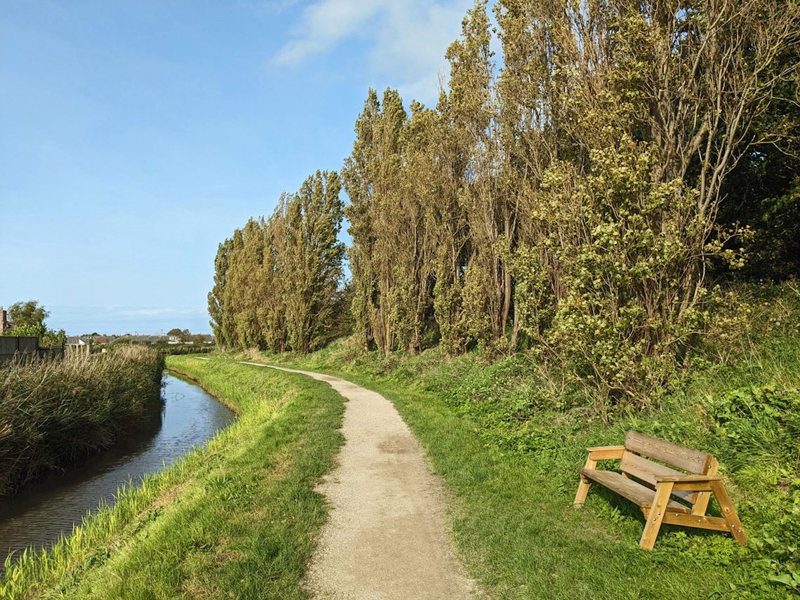
2. Follow Tan-yr-Eglwys Road, which passes below St Mary’s Church, and continue parallel to the river. Go up a tarmac path on the left, which is a cycleway called Lôn Clwyd. It runs along the top of an embankment beside the river, passing beneath the busy A525 road. Views from the embankment take in surrounding farmland, the Clwydian Range and the more distant mountains of Eryri (Snowdonia). Pass through occasional gates and read a notice explaining about flood defences along the riverside.
3. The path is flat, obvious and easy to walk, but it eventually drifts away from the riverside and reaches a signposted junction beside a caravan park. Keep left as signposted for Glan Morfa and follow the path until a triangular junction is reached. There are two options at this point. One is to keep walking straight ahead, and the path soon joins a road, which in turn leads straight towards a railway footbridge. This saves 1km of walking. The other option is to turn left to explore the Glan Morfa Community Woodland, where a number of paths are available, displayed on a map-board.
4. The path around Glan Morfa runs back towards the tidal shore of the River Clwyd and reaches another triangular path junction. Keep left to continue along the riverside, heading towards a railway bridge. The path turns right and runs parallel to the railway line, leaving Glan Morfa. Turn left to cross a footbridge over the railway line, using the elevated crossing to study the Marine Lake and the seaside resort of Rhyl.
5. Walk along a road to pass a few houses, then take the second turning on the left, which is signposted for the Marine Lake. The track of a miniature railway is crossed on the way to the lake. Turn right to walk along its shoreline path, passing the Sea Cadet building and the Rhyl Miniature Railway Central Station. The railway was founded in 1911 and makes a complete circuit of a Marine Lake. A noticeboard challenges visitors to study the view and spot features in the four counties of Denbighshire, Flintshire, Conwy and Gwynedd. Follow the shoreline path until a cycleway signpost points to the right, crossing the miniature railway. Cross a busy road at a traffic island, as signposted for Rhyl Harbour, then walk along the short Quay Street behind an Aldi supermarket to reach a junction with the busy West Parade road.
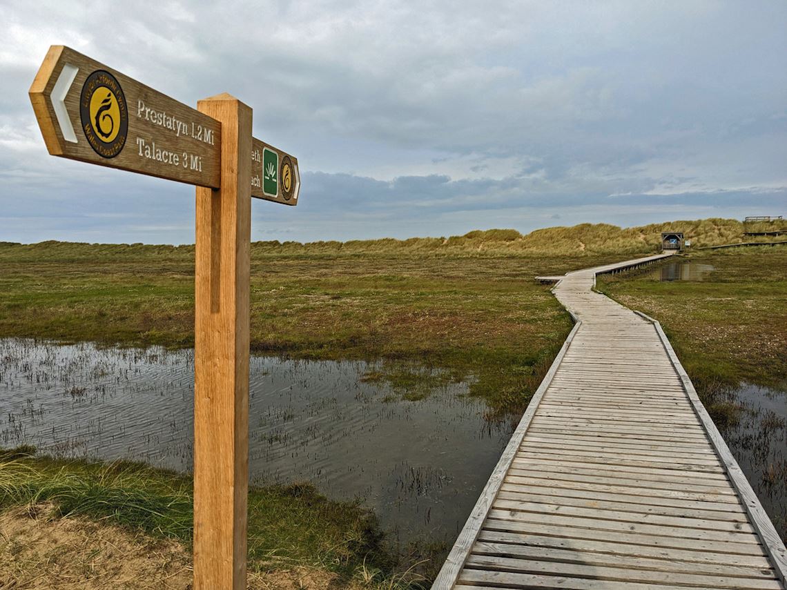
6. Go through a nearby gap in the blue railings that run alongside the road, in order to reach Pont y Ddraig. This footbridge was opened in 2013 and carries the Wales Coast Path over Rhyl Harbour, avoiding having to use the nearby busy Foryd Bridge. Once across the bridge, the Harbour Hub Café is available to the left, but our route turns right to reach the start of a wooden walkway rising onto an elevated area of sand dunes. (A noticeboard offers notes about the Rhyl Town Trail, for those who wish to explore the town.) The sand dunes are protected as the tiny Horton’s Nose Nature Reserve and the walkway leads to a viewing platform. Looking out to sea, the whirling turbines of Gwynt y Môr are seen, along with the North Wales coast from Rhyl to Great Orme’s Head. Looking inland, the Clwydian Range and mountains of Snowdonia are in view.
7. Follow the walkway onwards, linking with a broad tarmac path following a sea wall past the Sunnyvale mobile home park at Kinmel Bay. The Wales Coast Path could be followed all the way to Abergele, Colwyn Bay or Llandudno, but our route turns left inland, following a well-trodden path flanked by tall fences. Pass between mobile homes and a caravan park, then go through a tall kissing gate to reach the short Southlands Road. Follow this to the Mayquay pub. Turn left along the busy Foryd Road, but almost immediately cross it at a traffic island to reach The Harbour pub on the other side of the road.
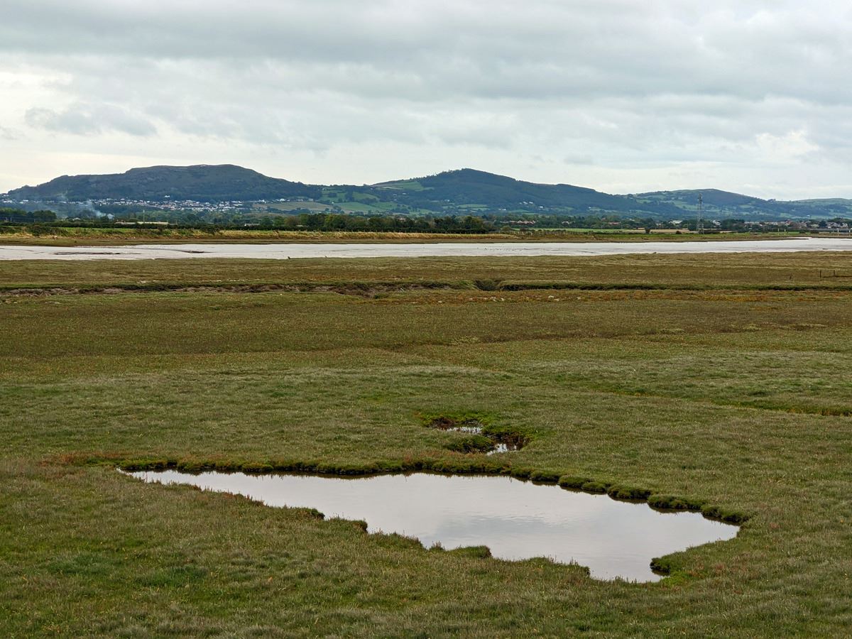
8. Follow the Old Foryd Road until it bends right, then continue along Alexander’s Way and Clwyd Bank, through a housing estate. Pass fields and a scrapyard before following the road under a railway bridge. Immediately turn left up a track, then cross a step-stile over a gate to reach a grassy embankment beside the tidal River Clwyd. Simply walk along the top of the embankment, looking far inland to spot Rhuddlan and its castle. The embankment path passes above a pumping station and later crosses the River Gele sluice. A track continues onwards, just below the embankment, later passing another pumping station. Go through a gate beside a mobile home park and follow a road past caravan parks, passing beneath the busy A525 road. Watch out for a noticeboard that offers information about a town trail around Rhuddlan.
9. Turn left at a junction with the busy Station Road beside a Starbucks café. The pavement leads to a footbridge beside the ancient, narrow Rhuddlan Bridge. Timber bridges spanned the river here in the 13th century, and parts of the current stone bridge date from 1595. Rhuddlan Castle, dating from 1277, can be seen beyond the bridge. The castle is easily visited by following Ffordd y Castell, otherwise finish the walk back on High Street.