

Talacre Warren
A great circular walk from Talacre, on a splendid...
A great circular walk from Talacre, on a splendid sandy beach with the option of a shorter walk behind the sand dunes
Paddy Dillon
A flat and easy walk from Talacre leads around the Point of Ayr, overlooking a notable nature reserve popular with bird-watchers. The former Point of Ayr Colliery site is explored where coal was mined from far below the seabed and loaded onto ships. The route includes an old stretch of the Wales Coast Path and the new path that replaced it, featuring sculptures and artwork.
Distance: 2.6 miles / 4.2km
Start location: Talacre Beach road-end
Start Grid Ref: SJ 12457 84841
Start What 3 Words: showrooms.hamster.butterfly
Parking
Parking beside the marsh at Talacre if the barrier is open, as well as at the nearby Point Bar or Lighthouse Inn.
Bus
Daily bus services link the Talacre Beach Resort with Holywell, Prestatyn and Rhyl.
Train
None.
The circular route is marked in dark pink in the map image below. The purple flags show the start and finish point. View the route and download GPX link Point of Ayr

1. If arriving by bus, start from the bus shelter opposite the Talacre Beach Resort and follow Station Road straight towards the coast. If arriving by car, drive to the end of Station Road and either park at the Lighthouse Inn, Point Bar, or if the barrier at the road-end is open then park beside the marsh.
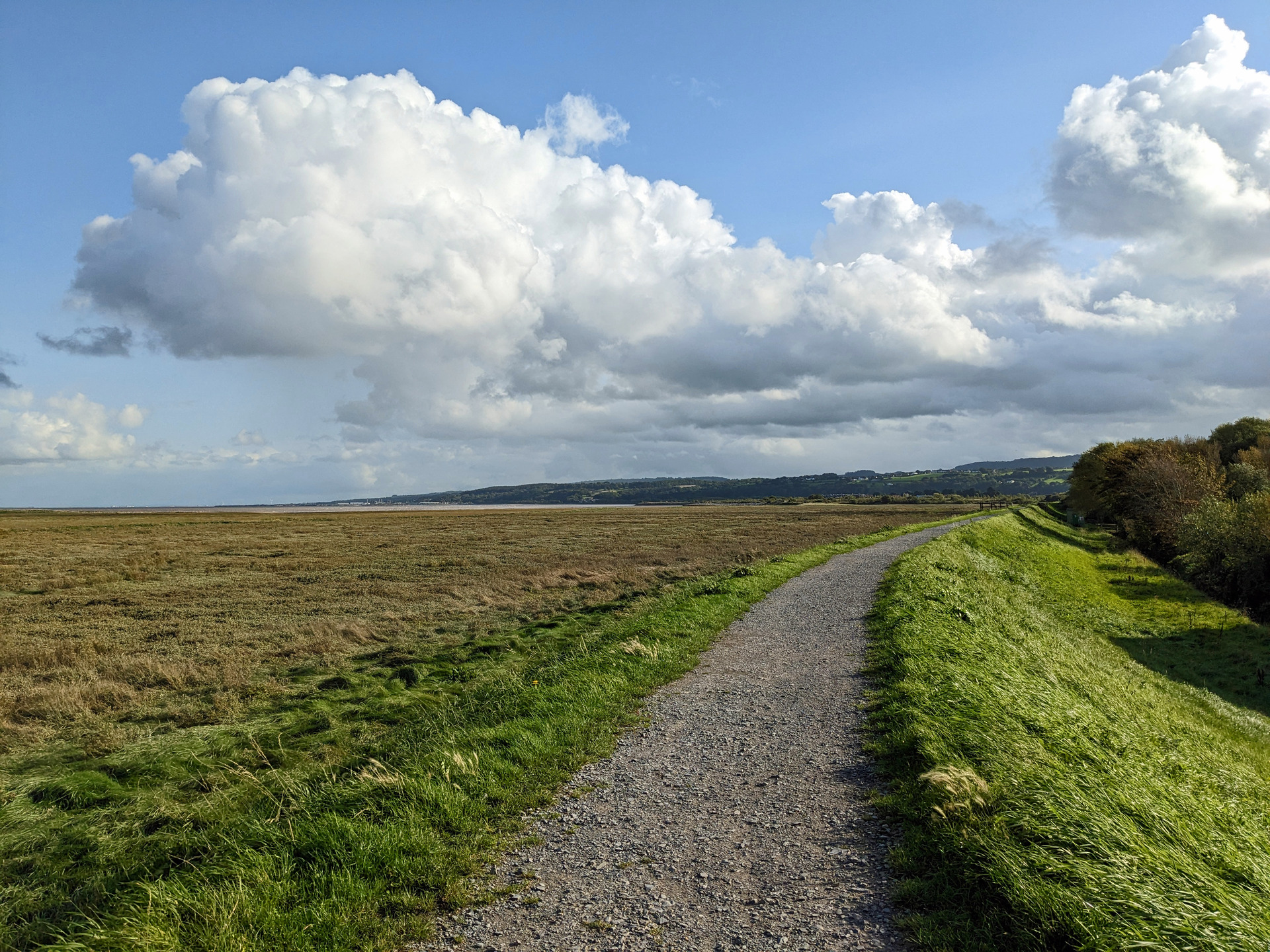
2. The walk starts from the road-end as signposted along the Wales Coast Path for Ffynnongroyw. The path runs along the top of a grassy embankment overlooking extensive saltmarsh, passing a few picnic benches. The first picnic bench features a noticeboard explaining about the history and wildlife of the area. Until 1996 a few local miners would have followed the embankment to the Point of Ayr Colliery, but now cyclists, walkers and bird-watchers use it. As the colliery closed down, a gas terminal was constructed. If any alarms or burn-off flares are scheduled on site, advisory notices are posted on the path.
3. The gravel path on the embankment gives way to a tarmac path that bends left, passing young birch, hawthorn, wild rose and brambles that are colonising the extensive concrete foundations of the former colliery. A gate on the left reveals a short there-and-back path serving a nearby bird hide. This looks across the marshland to the shingle spit of Point of Ayr, used as a breeding site by a colony of little terns. Noticeboards at the bird hide list dozens of species of birds that might be observed.
4. Continuing along the tarmac path, a sculpture of a miner with a pit pony is passed. According to local lore, pit ponies at Point of Ayr would only respond to commands given in Welsh. Coal mining lasted for a century on this site, with shafts extending far below the seabed. The next feature is an old marker buoy that once indicated a shipping channel in the Dee estuary. The old concrete quayside where colliery ships once moored is now heavily silted. Decorative metal panels alongside illustrate a variety of themes, from shipping and wildlife to recreation. After the quayside ends, the path passes a colliery pit-wheel sculpture, where a noticeboard explains about the Point of Ayr Colliery.
5. The Wales Coast Path crosses a tarmac road then almost immediately runs alongside a concrete road. The road passes beneath a railway bridge, but before reaching that point, turn right at a three-way signpost, as indicated for Danger Point. Follow a grassy path flanked by bushes, which was actually the Wales Coast Path in its early years. Cross a drain and continue along a gravel path flanked by fencing, parallel to the railway line. A substantial metal footbridge is reached, crossing an overgrown branch railway line that once served the colliery, offering an elevated view. Turn left along a road, passing barriers and a roundabout to reach a junction with Station Road. Just to the left is the Granary Court Business Park, based in an old stone-built granary that also includes the Danger Point activity centre.
6. Cross over Station Road and turn right to follow the pavement back into Talacre, reaching the Talacre Beach Resort, where food and drink is available. Cross over the road to reach the bus shelter, where the bus turns. If returning to a parked car, follow the pavement onwards, passing offers of food and drink, with toilets also available, before reaching the Lighthouse Inn, Point Bar and the marsh-side car park.
